Sensing
Fixed Urban and Coastal Observatories
Improved predictions of hazardous weather, such as flash floods, high winds, winter storms, heat waves, and poor air quality, from high-resolution mesoscale models requires that these models be initialized with an accurate representation of the current state of the atmosphere. Satellites are the primary observational sources; however, they provide limited information in the lower few kilometers in the atmosphere. The missing dimension (the vertical) in observations has already been recognized in recent National Academy of Science reports. Horizontal variability is also important especially in developed urban and coastal areas. These areas are characterized by highly heterogeneous energy sources and landscapes, amplified micro-climate states (e.g., heat waves), complicated planetary boundary layer (PBL) structure, and vulnerability to extreme weather and storm surge.
The instrumentation of the profiling stations is low-cost, low-maintenance and well proven for its reliability and robustness in the field. Our group has experience in calibrating lidars using established techniques that use natural targets (liquid clouds and/or molecular scattering) and radars using disdrometer measurements. We are currently investigating the following: i) the operational stability and reliability of the sensor package and ii) the maturity and robustness of automated algorithms that provide quality controlled, high added value data products suitable for the evaluation of the parameterization schemes inherent in forecast models.
The use of three different locations will provide the opportunity to evaluate these schemes under different conditions. Another important component of the proposed work is the characterize the uncertainties in the measurements and to develop forward simulators to allow us to make a more direct comparison of model and observations and at the same time prepare the necessary ground work for data assimilation of the network observations.
Lower Manhattan
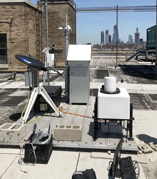
Instrumentation
Micro Rain Radar PRO
24-GHz precipitation profiling radar
Vaisala CL51 Ceilometer
Aerosol and Cloud Profiling
Scanning Doppler lidar
Boundary layer winds and turbulence
Parsivel2 Disdrometer
Raindrop size distribution, rainfall rate
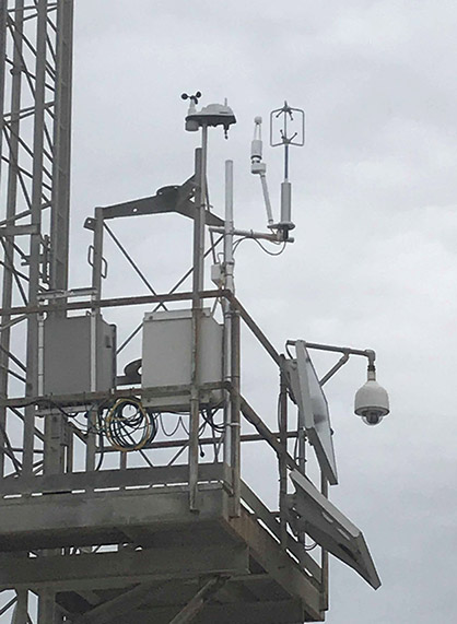
Smart Weather Sensor
Temperature, humidity, pressure, wind
Radar Observatory at Stony Brook University
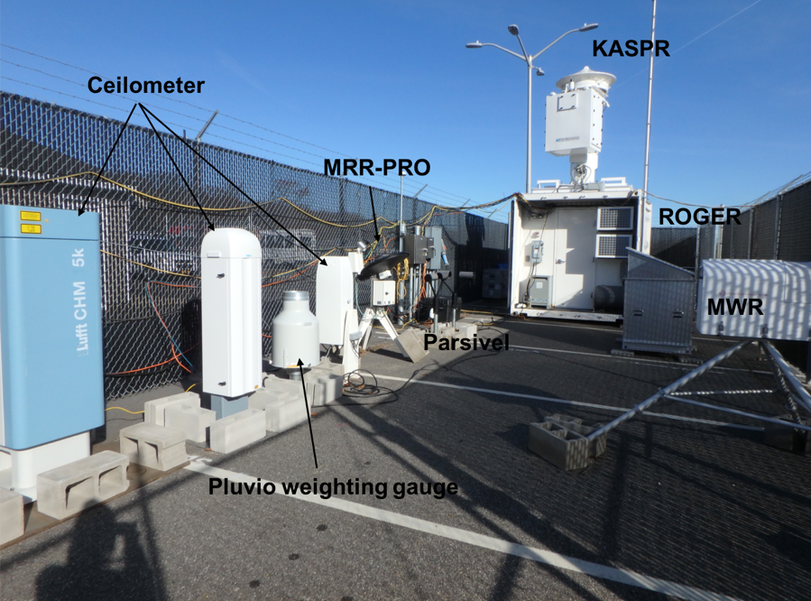
Instrumentation
35-GHz scanning polarimetric radar
94-GHz cloud profiling radar
24-GHz precipitation profiling radar
CHM 15k Ceilometer
Aerosol and cloud profiling
Microwave radiometer
Water vapor profiling
Parsivel2Disdrometer
Raindrop size distribution, rainfall rate
Pluvio2 weighting gauge
Precipitation amount
Solar Tracker
Direct and diffused solar radiation
Brookhaven National Laboratory
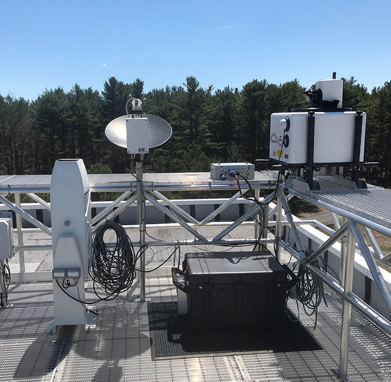
Instrumentation
Micro Rain Radar
24-GHz precipitation profiling radar
Vaisala CL31 Aerosol and cloud profiling
Sky imager
Cloud fraction
Infrared thermometer
Cloud base temperature
Surface radiation suite
Precipitation gauge
Southampton
Instrumentation
LI-7500DS Open Path CO2/H2O Analyzer
High-speed, high precision open path CO2/H2O gas analyzer for eddy covariance measurements