The Journey of Water Drops Matters in Predicting Rain
Long-term observations of marine clouds reveal how in-cloud motions shape rain
October 30, 2026
 enlarge
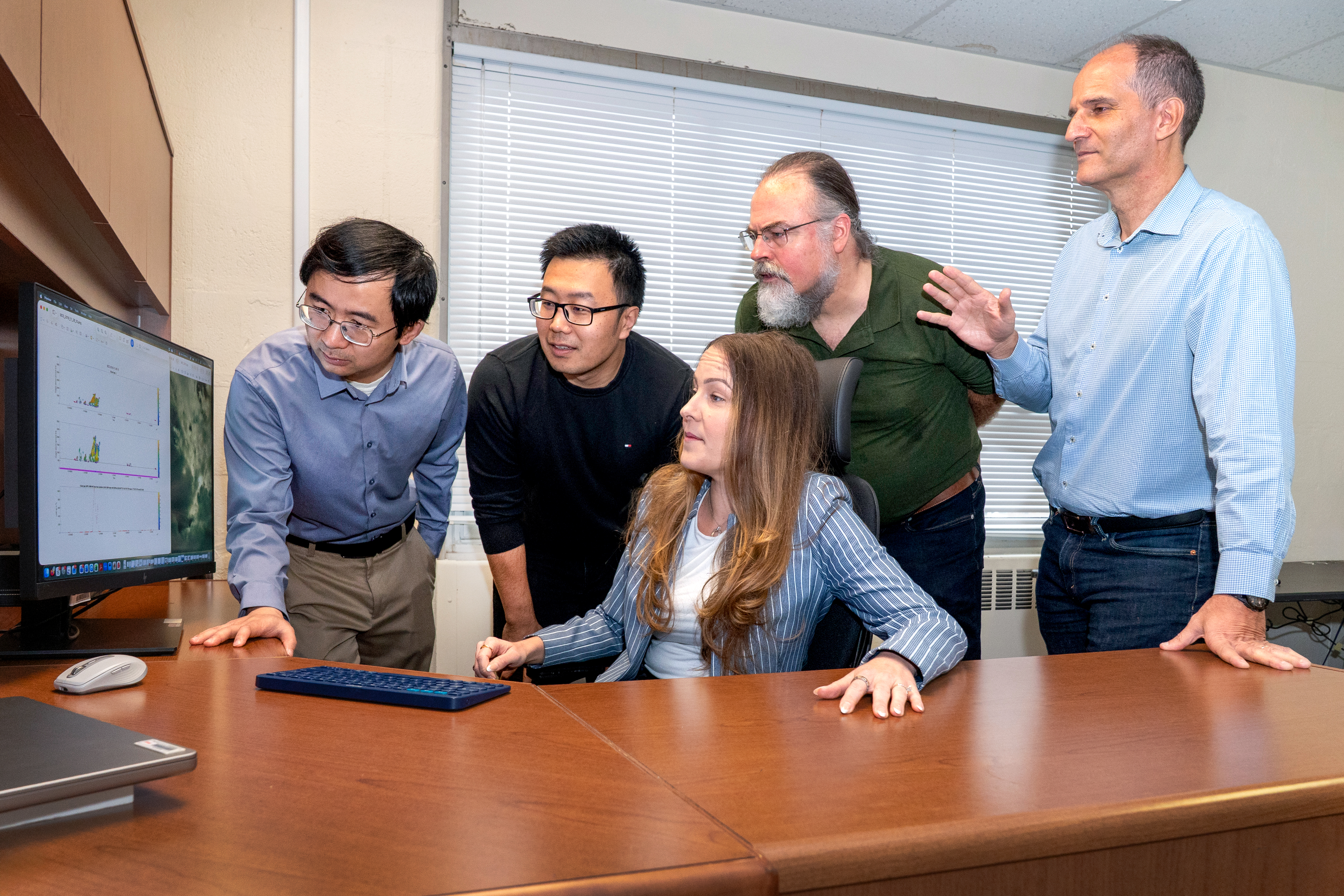
Brookhaven Lab researchers Fan Yang (left), Zeen Zhu, Katia Lamer, Edward Luke, and Pavlos Kollias, who holds a joint appointment with Stony Brook University, review data aiming to improve scientists' understanding of how air motion influences rain formation in marine clouds. (David Rahner/Brookhaven National Laboratory)
UPTON, N.Y. — Research led by atmospheric scientists at the U.S. Department of Energy’s (DOE) Brookhaven National Laboratory sheds new light on one of the fundamental challenges of weather forecasting: determining the conditions under which a cloud will produce rain — and how much rain it will produce.
DOE’s Atmospheric Radiation Measurement (ARM) User Facility has been collecting observations of clouds at different sites around the world for more than 30 years. In a study recently published in Proceedings of the National Academy of Sciences, an analysis of over 700,000 cloud samples showed that marine stratocumulus, low-level clouds that blanket large areas of the world's oceans, can readily produce drizzle, even when they contain relatively little liquid water.
 enlarge
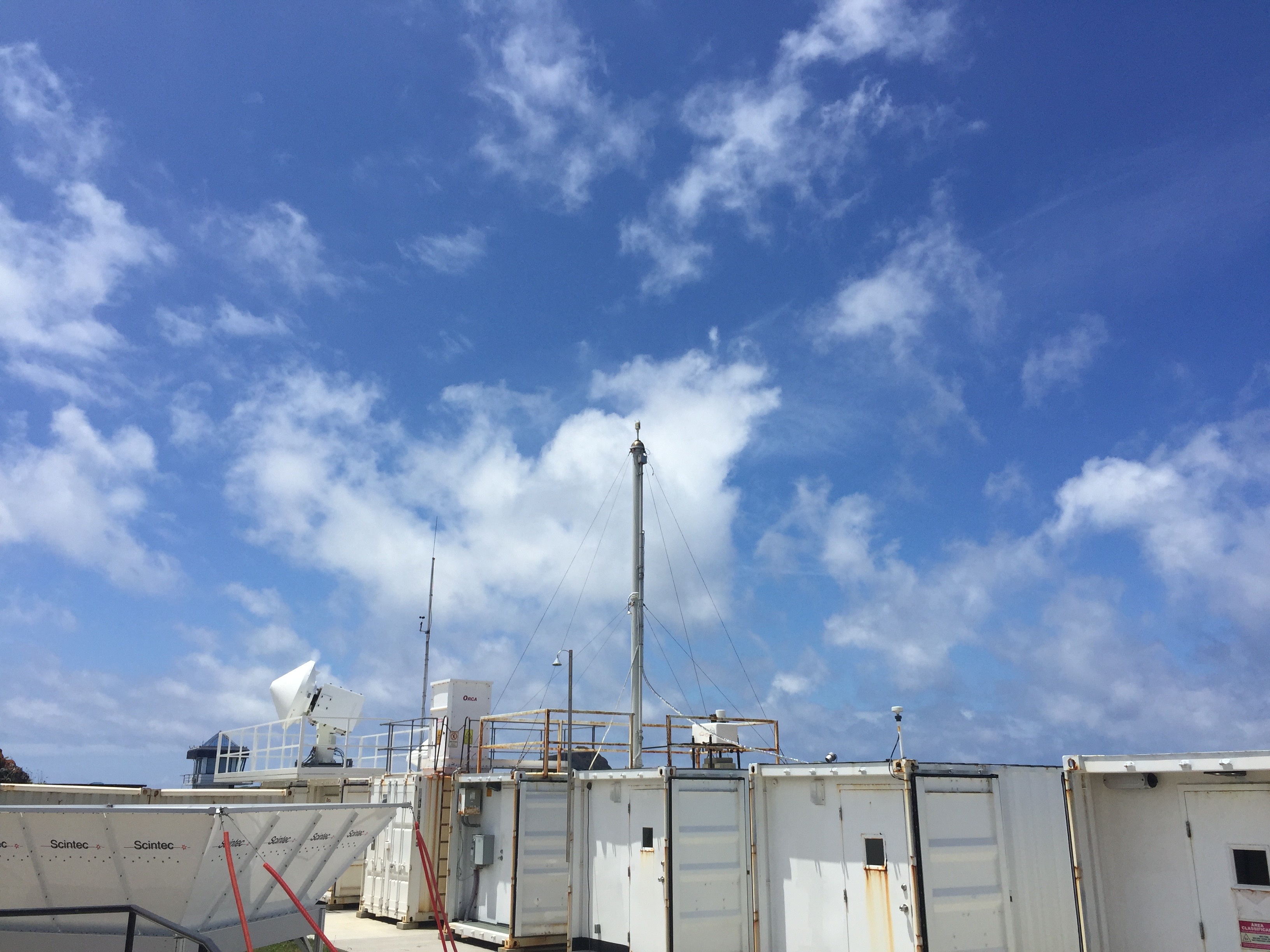
Low-level warm clouds dominate the skies over the Azores. This island chain west of mainland Portugal is home to the Eastern North Atlantic atmospheric observatory, one of four sites that provided data for a recent Brookhaven Lab study on rain formation. The observatory is a U.S. Department of Energy Atmospheric Radiation Measurement user facility. (Katia Lamer/Brookhaven National Laboratory)
“This finding challenges the common picture that clouds must first accumulate substantial amounts of liquid water before rain forms,” said Katia Lamer, the paper’s first author and Director of the Center for Multiscale Applied Sensing at Brookhaven Lab. “This puts into question where weather model development efforts should focus. For one thing, we should revisit model parameters that artificially prevent rain formation in marine stratocumulus.”
In-cloud air motion has long been hypothesized as important in shaping rain formation, but evidence of its importance has been limited. Multiple ARM sites and the Barbados Cloud Observatory provided the measurements needed to investigate this relationship across large populations of clouds containing similar amounts of liquid water.
At each site, the same instruments contributed the different pieces of the puzzle. Lidars identified where clouds ended and precipitation began. Doppler radars provided information about the size and number of raindrops, as well as air motions inside clouds. Microwave radiometers measured how much liquid water the clouds contain. Together, these measurements allowed the scientists to examine how clouds with similar amounts of water can produce very different precipitation.
By comparing precipitation properties beneath stratocumulus and shallow cumulus — two types of clouds with contrasting air motions and moisture field profiles — the authors found that the journey of water drops through a cloud matters in determining precipitation properties.
As air carries drops in a cloud, some may encounter regions rich in cloud droplets where they can collide and grow, while others pass through dry patches and evaporate. These different paths shape the number and size of drops that fall below the cloud base and impact the rain that reaches the surface.
 enlarge
This map showsfour observation sites that Brookhaven Lab researchers used to study marine clouds: the Barbados Cloud Observatory, Gan Island, the Eastern North Atlantic observatory, and a ship route between Los Angeles and Hawaii sampled during the Marine ARM GPCI Investigation of Clouds campaign. The insets show examples of measurements of stratocumulus and cumulus properties including cloud boundaries, water content, and the motion of water drops. (Brookhaven National Laboratory)
When comparing clouds containing the same amount of liquid water, shallow cumulus — which have more vigorous mixing and a patchwork of dry and moist regions — produced precipitation beneath the cloud much less frequently than stratocumulus — which are gentler and more uniform in moisture. When precipitation did emerge, however, drops falling from cumulus were approximately twice as large but tens to hundreds of times fewer than those found beneath stratocumulus.
“The results support a picture in which the history of a drop matters,” Lamer said. “Strong air motions can keep drops suspended longer, while the variable structure of cumulus means that different drops can follow very different pathways. Some may repeatedly encounter regions rich in liquid water that favor growth, while others encounter drier regions where they can partially or completely evaporate.”
Weather models typically do not track the enormous number of individual drops in every cloud. Instead, these models rely on simplified representations of how cloud droplets become precipitation and how precipitation grows. The new results highlight the importance of going beyond these simplifications to account for the different pathways drops follow through clouds.
 enlarge
Brookhaven Lab researchers Zeen Zhu (left), Edward Luke, Katia Lamer, Pavlos Kollias, and Fan Yang stand at Brookhaven Lab's Center for Multiscale Applied Sensing (CMAS) in front of the CMAS2 mobile laboratory and the T2 lidar. (Kevin Coughlin/Brookhaven National Laboratory)
“As computing capabilities continue to advance, our results motivate further exploration of approaches that follow individual drops as they move through clouds, capturing how their growth depends on the different environments they encounter along the way,” Lamer said.
The research also motivates new observational strategies capable of following clouds and precipitation as they evolve, rather than observing only their state at a particular moment.
Brookhaven Lab is well positioned to advance this research through its expertise in high-resolution observations of clouds and precipitation and its experimental capabilities for studying cloud processes.
"Brookhaven Lab's capabilities at the Center for Multiscale Applied Sensing and its Nephos Cloud Chamber, which can grow clouds in a lab, offer unique opportunities to explore new approaches,” Lamer said.
This work is supported by the DOE Office of Science.
Brookhaven National Laboratory is supported by the Office of Science of the U.S. Department of Energy. The Office of Science is the single largest supporter of basic research in the physical sciences in the United States and is working to address some of the most pressing challenges of our time. For more information, visit science.energy.gov.
Follow @BrookhavenLab on social media. Find us on Instagram, LinkedIn, X, and Facebook.
2026-23216 | INT/EXT | Newsroom