Cloud Processes Group
ARM Cloud Lifecycle Infrastructure
The Cloud Lifecycle Infrastructure group at BNL is responsible for the development and production of cloud-related value-added data products (VAPs) from ARM observations. A major focus of value-added product activities is the retrieval of geophysical properties from millimeter cloud radar observations. The cloud life cycle infrastructure group also provides mentorships for the millimeter cloud radar datasets and the ARM disdrometers.
The Cloud Lifecycle Infrastructre group is responsible for several key products including:
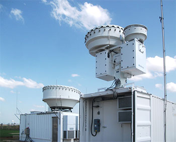
Active Remote Sensing of CLouds (ARSCL)
The ARSCL VAP combines data from multiple active remote sensing instruments to produce an objective determination of cloud hydrometeor height distributions and best-estimates of their radar reflectivities, vertical velocities, and Doppler spectral widths.
Micro-ARSCL
The Micro-ARSCL VAP is a microscale cloud radar data product with the radar’s high temporal resolution for detailed microphysical studies. It includes information about the local maxima in each Doppler spectrum, Doppler moment uncertainty estimates and shape parameters (e.g., skewness and kurtosis), and more accurate identification of radar clutter.
Continuous Baseline Microphysical Retrieval
The MICROBASE VAP uses a combination of observations from the millimeter cloud radar, ceilometer, micropulse lidar, microwave radiometer, and balloon-borne soundings to determine profiles of liquid/ice water content, liquid/ice cloud particle effective radius, and cloud fraction. This retrieval is calculated every 10 seconds with more than 230 vertical levels.
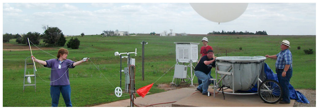
Merged Sounding
The Merged Sounding VAP uses a combination of observations from radiosonde soundings, the microwave radiometer, surface meteorological instruments, and weather forecast output with a sophisticated scaling / interpolation / smoothing scheme in order to define profiles of the atmospheric thermodynamic state at high temporal and vertical resolution.