Our Natural Resources
Brookhaven’s 5,321-acre campus is located in Long Island’s Central Pine Barrens region and within the watershed of one of Long Island’s four major rivers, the Peconic River, which has been designated 'scenic' under New York State’s Wild, Scenic, and Recreational Rivers Act.
Often described as Long Island’s last remaining wilderness and one of the Northeast’s greatest natural treasures, the Central Pine Barrens covers more than 100,000 acres of public and privately-owned land in Suffolk County. The Pine Barrens are a unique ecosystem dominated by groundcover, shrub thickets, a variety of oaks and pitch pine trees which grow in sandy, acidic, and infertile dry upland soils. The Pine Barrens also contain a diverse range of wetland communities such as marshes, coastal plain ponds, bogs, and river corridors.
The Lab's undeveloped habitats support some 350 plant species, 33 native mammals, approximately 85 nesting species of bird, 29 reptile and amphibians, and countless other invertebrates
Long Island Pine Barrens
The Lab’s campus constitutes about five percent of Long Island’s more than 100,000-acre Central Pine Barrens region. With its gently rolling topography and its sandy soil, the Lab’s soils are mostly well drained, with the exception of six regulated wetlands and various seasonal ponds. The former home of an oak and chestnut forest that was cut and cleared for the construction of Camp Upton in 1917, the vegetation is in various stages of succession, and the remaining forested land now contains oak, scrub oak, and pitch pine native to the pine barrens, as well as some non-native trees planted by the Civilian Conservation Corps during the Great Depression.
Since 1993, the Pine Barrens have been protected by the New York State’s Long Island Pine Barrens Protection Act. The goal of the Act is to protect the land and its associated flora and fauna, wetlands, and surface water and groundwater which is the drinking-water supply for nearly 2 million people in Nassau and Suffolk Counties.
Under the Lab’s Natural Resource Management Program, the Lab works to monitor and protect the site’s flora and fauna, and to assess the impact, if any, of the site’s past or present operations.
Wildlife
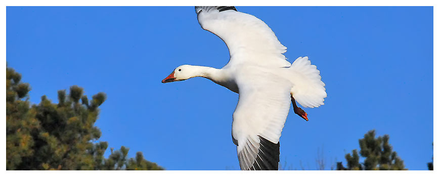
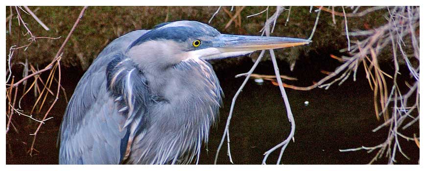
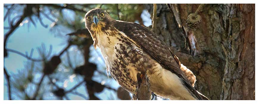
The undeveloped woodlands, grasslands, and wetland habitats found at the Lab site support more than 350 plant species, including several species classified as threatened, endangered or vulnerable due to collection according to New York State, 33 mammal species including the northern long-eared bat that has been listed as a federally threatened species, and approximately 85 species of birds have been observed nesting on site. Because of its location within the Atlantic Flyway, more than 200 transitory bird species have been documented as visiting the site.
In the Peconic River environs some 10 species of fish have been identified as endemic to the site including the banded sunfish and the swamp darter, both of which are threatened in New York State. Other wetlands on site, including marshes, ponds, and retention basins, have been found to host 14 amphibian and 15 reptile species. Ecological studies have confirmed 26 breeding locations on site for the New York State endangered eastern tiger salamander.
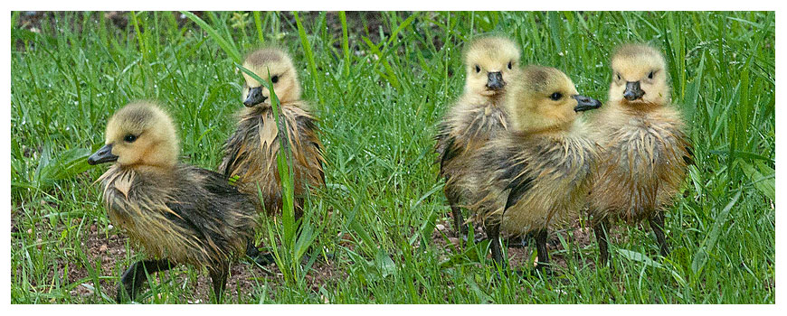
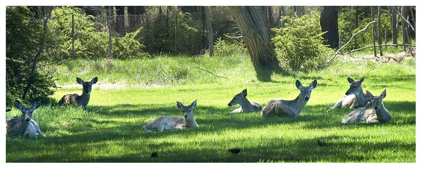
The Laboratory actively monitors and manages the populations of several species including the resident Canada goose population, wild turkey, and white-tailed deer. The geese are managed to help ensure that they do not reach numbers that would cause safety and health concerns. The population of wild turkeys on site appears to have stabilized in recent years at approximately 300 birds. Since 2009, a 5-day hunt has been held in Suffolk County with little or no evidence of effect on the BNL turkey population. The Lab conducts annual population surveys of white-tailed deer. The deer population is periodically reduced with meat being donated to homeless shelters or food pantries. The active management of the deer population has brought the population to approximately 30 deer/sq. mi. or 250 to 300 deer.
Upton Ecological and Research Reserve
Toward ensuring the sustainability of the plants and animals that make their home in the Long Island Central Pine Barrens, the U.S. Department of Energy permanently set aside 530 acres at BNL, which is some ten percent of the Lab’s land. Established in 2000 as the Upton Ecological and Research Reserve, this acreage is located on the Lab’s eastern boundary and encompasses acreage within the Long Island Pine Barrens’ core preservation area and along the Peconic River corridor.
Overseen jointly by the Lab and the Foundation for Ecological Research in the Northeast, or FERN since 2005, the Upton Reserve is managed for its key ecological values and as an area for ecological research. Ecological and wildlife research is conducted to assist in understanding how the natural environment works. The information gained from these projects is used to make management decisions at the Laboratory. Recent agreements with the State University of New York Enivironmental Sciences and Forestry school (SUNY-ESF) in Syracuse promises to add significant research projects increasing our understanding of the globaly rare pine barrens ecosystem.
Peconic River
The Peconic River headwaters are located just west of the Laboratory. This 15-mile long river flows from west to east traveling through the Lab and serves as the dividing line between several towns -- Brookhaven, Riverhead, and Southampton -- before emptying into Flanders Bay.
The groundwater-fed river is a recreational resource that is enjoyed by anglers, paddlers, and nature photographers alike, and it provides an inviting and successful habitat for wildlife both on site and off.


